


The ancient carvings keep disappearing beneath the water.
One week after the Petroglyphs along the Bangucheon Stream entered the UNESCO World Heritage List, torrential rain completely submerged one of the site’s main rock panels, DKNews.kz reports.
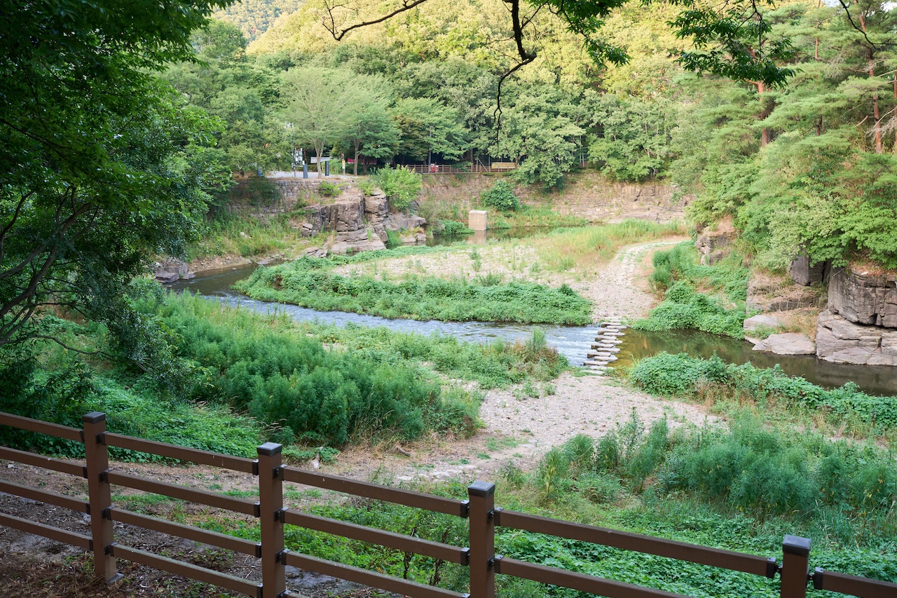
South Korea is now preparing to spend about 80 billion won — nearly $54 million — on redeveloping the Sayeon Dam. The project is expected to be completed by 2030.
Bangucheon shows the cost of a delayed decision. For Kazakhstan, the lesson is direct: the Tanbaly petroglyphs must be protected before gradual deterioration becomes irreversible.
Images that survived thousands of years
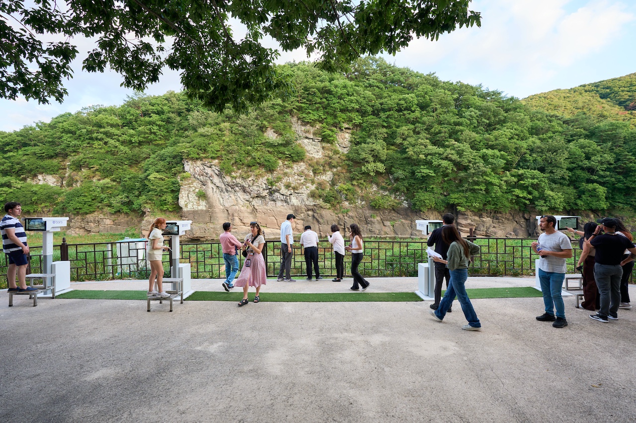
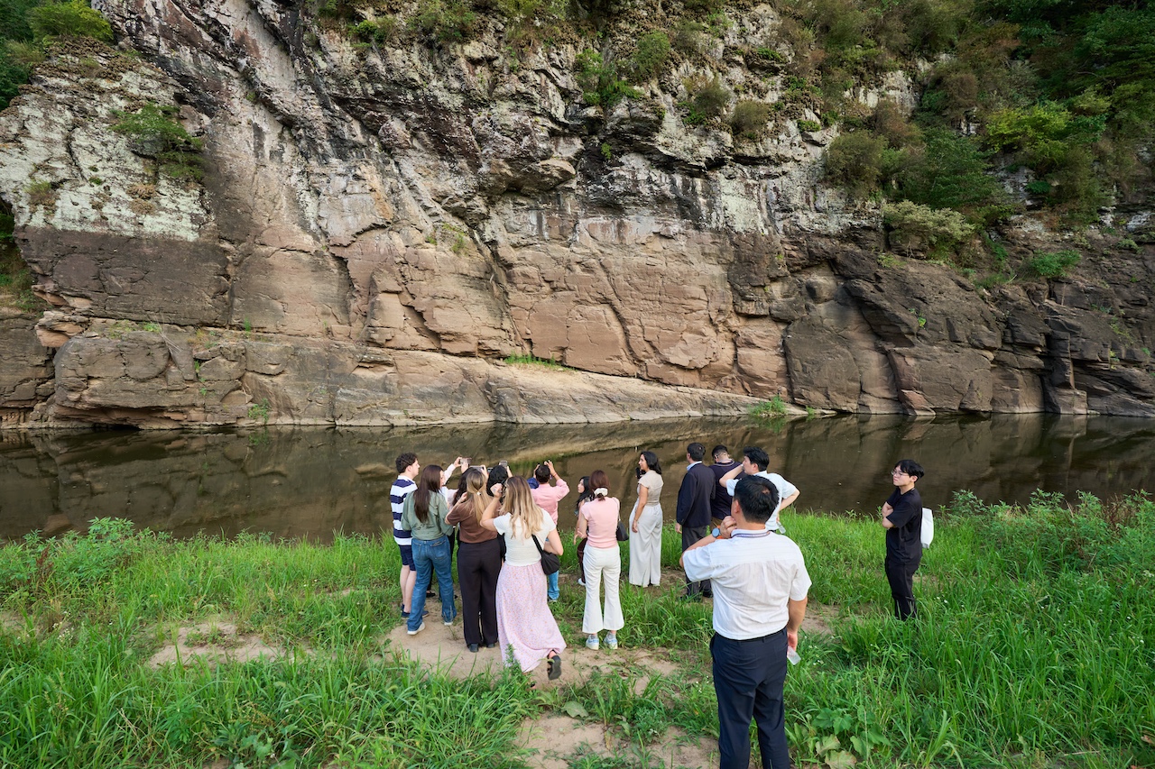
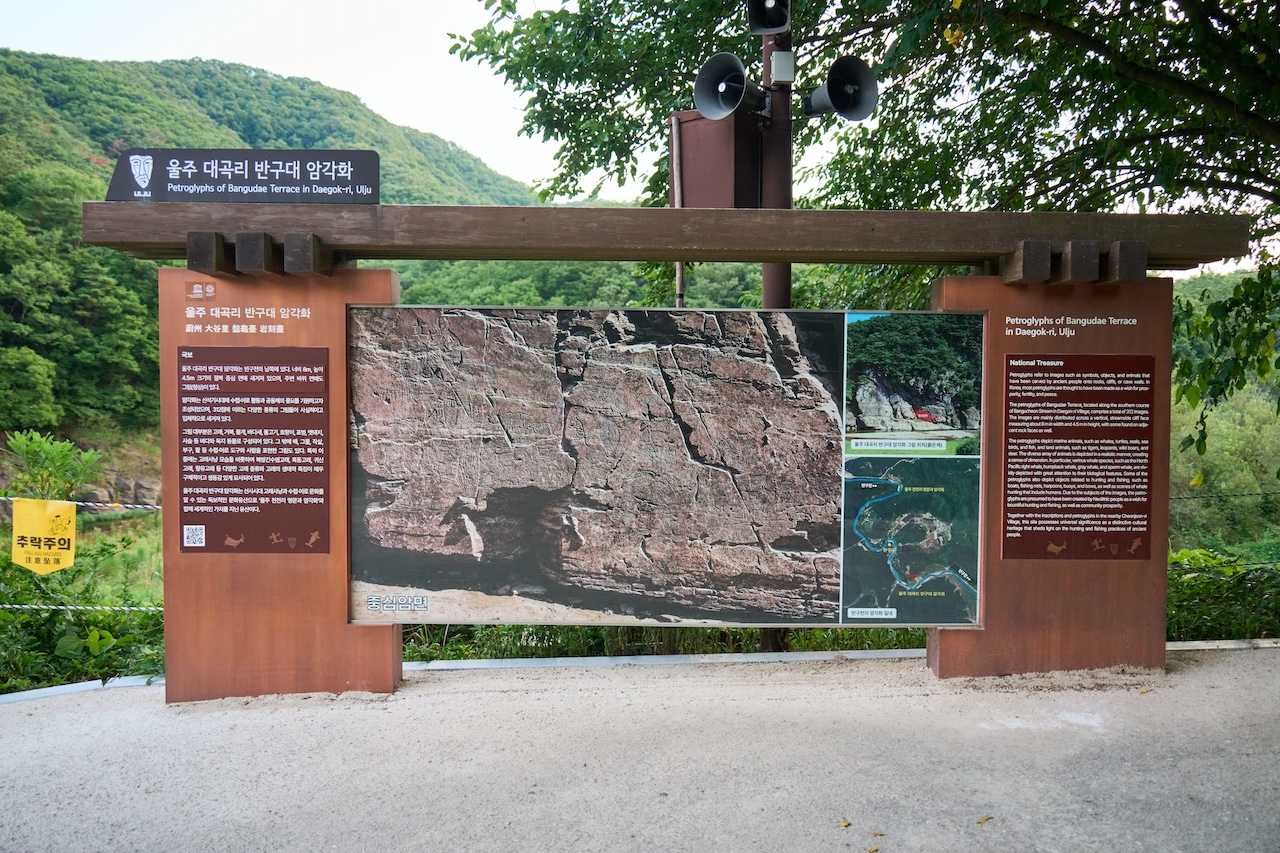
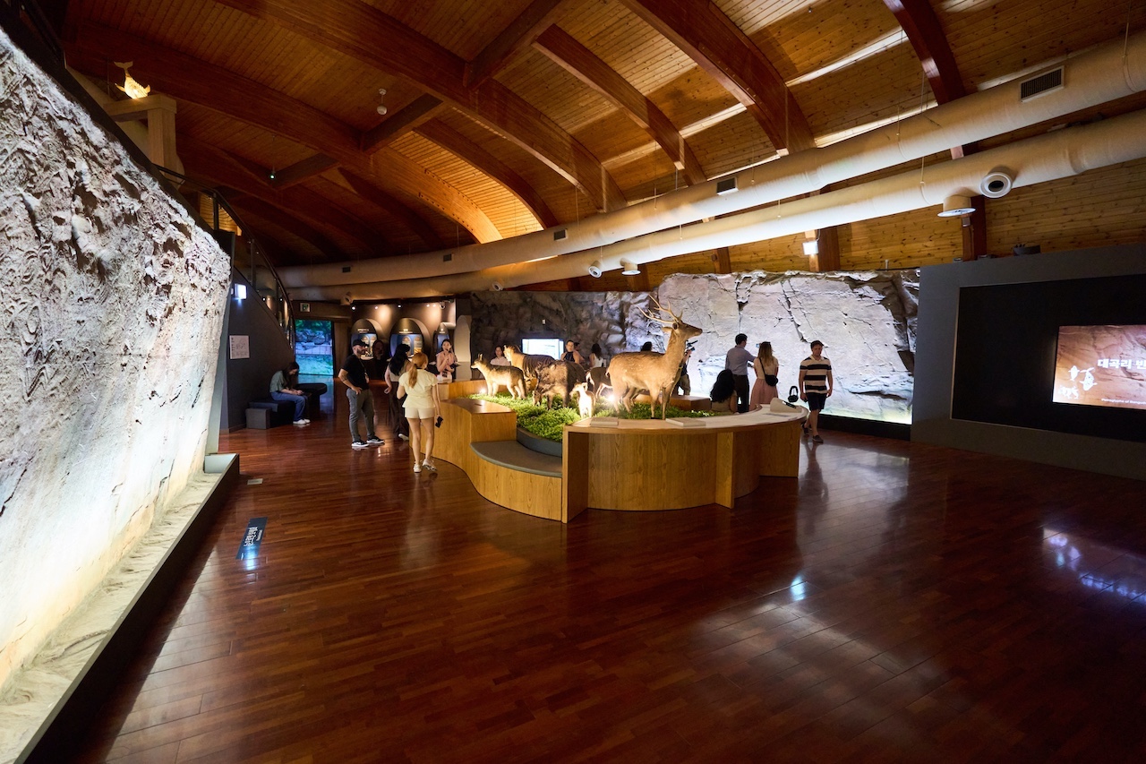
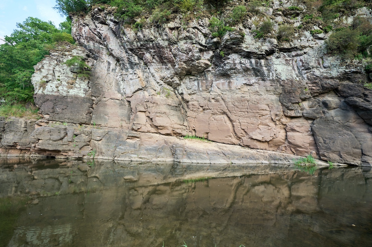
The petroglyphs are located along the Bangucheon Stream on the southeastern coast of the Korean Peninsula.
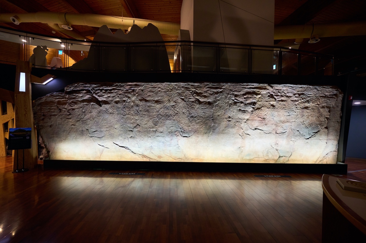
The property extends for approximately three kilometres and contains two major concentrations of rock art: the Daegok-ri and Cheonjeon-ri panels. Successive generations created the engravings from 5000 BCE to the 9th century CE.
The rocks feature whales, marine animals, deer, tigers, hunting scenes and human figures.
The depictions of whaling are particularly famous. They provide a rare view of how ancient communities on the Korean Peninsula hunted, travelled at sea and understood the natural world.
The carvings survived changing cultures, states and religions.
They were not prepared for a 20th-century dam.
The dam came before the petroglyphs were discovered
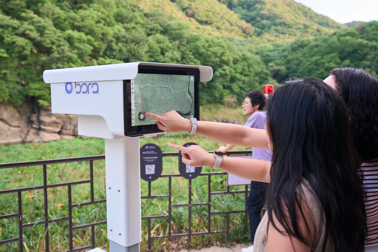
Sayeon Dam was built in 1965 to supply water to Ulsan.
The petroglyphs were discovered several years later, in 1970 and 1971. By then, water levels in the area were already controlled by the downstream structure.
When the reservoir fills, the Daegok-ri panel begins to disappear beneath the water.
Partial flooding starts when the water level reaches approximately 53 metres. At 57 metres, the rock surface becomes completely submerged.
Water does not destroy the engravings in a single day.
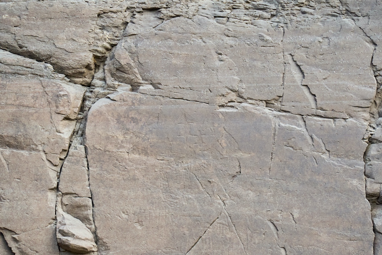
The danger comes from a continuous cycle: the rock becomes wet, dries, becomes wet again and experiences sharp temperature changes. Water enters cracks, biological organisms develop on the surface and layers of stone begin to peel away.
Before 2013, the petroglyphs were submerged for an average of 151 days a year.
The ancient monument effectively spent almost five months of every year inside the reservoir.
Korea reduced the flooding but did not solve the problem
In 2014, the authorities and state water company K-Water began artificially maintaining the reservoir at approximately 48 metres.
The average period of submersion fell from 151 to 42 days a year.
That was a major improvement. But even several weeks underwater each year continue to threaten the engravings.
The problem returned at a deeply symbolic moment in the summer of 2025.
The Bangucheon petroglyphs received World Heritage status on July 12. On July 19, more than 300 millimetres of rain fell in a single day, pushing the reservoir above the critical level and completely submerging the panel.
International status could not stop the water.
Why the solution took decades
Heritage stood on one side of the argument. Drinking water for a major industrial city stood on the other.
Demolishing the dam could threaten Ulsan’s water supply. Leaving the system unchanged meant allowing the petroglyphs to deteriorate.
Over the years, officials and experts proposed redirecting the stream, placing a protective barrier in front of the rock, lowering the reservoir, modifying the dam or relocating the panel itself.
Some proposals could have damaged the surrounding landscape. Others proved technically unreliable or excessively expensive.
The central government, municipal authorities, the water company and heritage experts struggled for years to reach an agreement.

“Our country has already spent over 25 years trying a multitude of methods to preserve this site,” Korea Heritage Service Administrator Huh Min said.
His words capture the central conflict at Bangucheon. The threat had been known for decades, but every institution defended its own part of the system.
Three floodgates for 80 billion won
The latest plan calls for three adjustable floodgates to be installed at Sayeon Dam.
They should allow excess water to be released before the level reaches the petroglyphs. The project is valued at approximately 80 billion won, or $54 million.
Construction is expected to be completed by 2030.
The authorities must also secure additional drinking-water sources for Ulsan. Without them, heritage protection will once again collide with the interests of local residents.
 Yonhap News
“Preserving heritage is essential, but it must also be balanced with protecting the lives and livelihoods of the people who live around it,” Ulsan Mayor Kim Sang-wook said.
The problem will not be fully resolved even after the floodgates are installed.
Climate change is making torrential rainfall less predictable. In a short period, the region could receive an amount of rain that the old water system was never designed to manage.
Saving the site from water may not save it completely
The dam project carries an unexpected risk.
For decades, the petroglyphs have existed in a cycle of regular wetting and drying. If the floodgates suddenly keep the surface permanently dry, the physical and biological processes affecting the rock will change again.
ICOMOS specifically warned Korea about the potential impact of rapid drying.
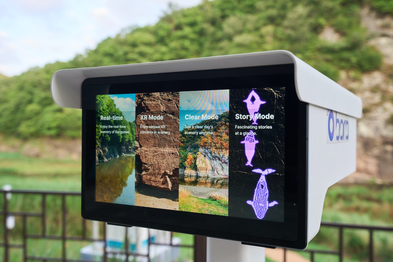
The authorities therefore monitor more than water levels. Specialists track changes in colour, biological growth, erosion and the peeling of the rock surface.
Automated monitoring devices operate at the property. Scientific surveys and regular three-dimensional scans are also carried out.
Korea’s system must monitor not only the original threat but also the consequences of its own solution.
This is one of the main lessons for Kazakhstan.
An engineering project may eliminate one danger while creating another. Monitoring must continue after construction rather than ending on the day a new facility opens.
Tanbaly faces different water but similar risks
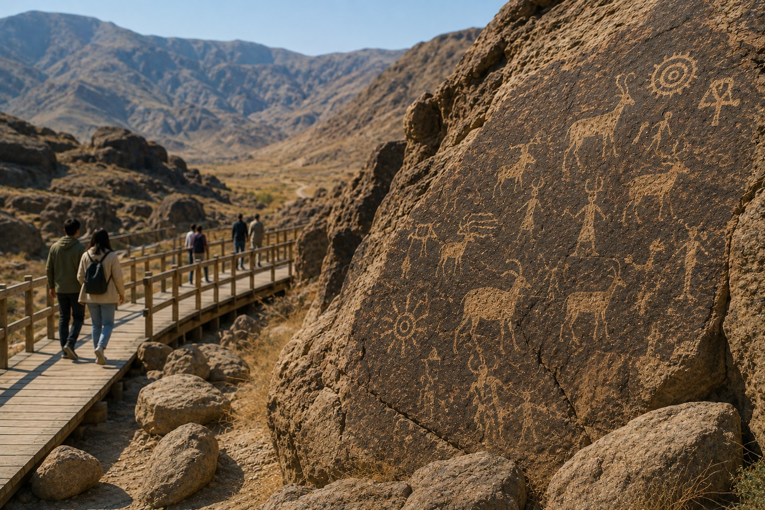
The Tanbaly petroglyphs are not flooded by a reservoir.
However, they also stand in the open air and depend on climate, geological conditions and visitor behaviour.
Water enters cracks and crevices. Sharp temperature fluctuations accelerate deterioration, while the layered structure of the stone creates a risk that the surface could peel away together with the images.
High and saline groundwater also affects the property. The risk extends beyond the petroglyphs to archaeological materials found in burial sites.
UNESCO has also identified earthquakes, steppe fires, uncontrolled visitation and graffiti as threats.
Each of these dangers develops gradually.
That is why they are easy to underestimate.
Climate destroys heritage without making headlines
A wildfire or collapse immediately becomes news.
Weathering works differently. A few grains of stone detach today, water widens a crack during winter, and extreme summer heat changes the surface structure.
After ten years, part of an image becomes fainter. After twenty, individual lines disappear.
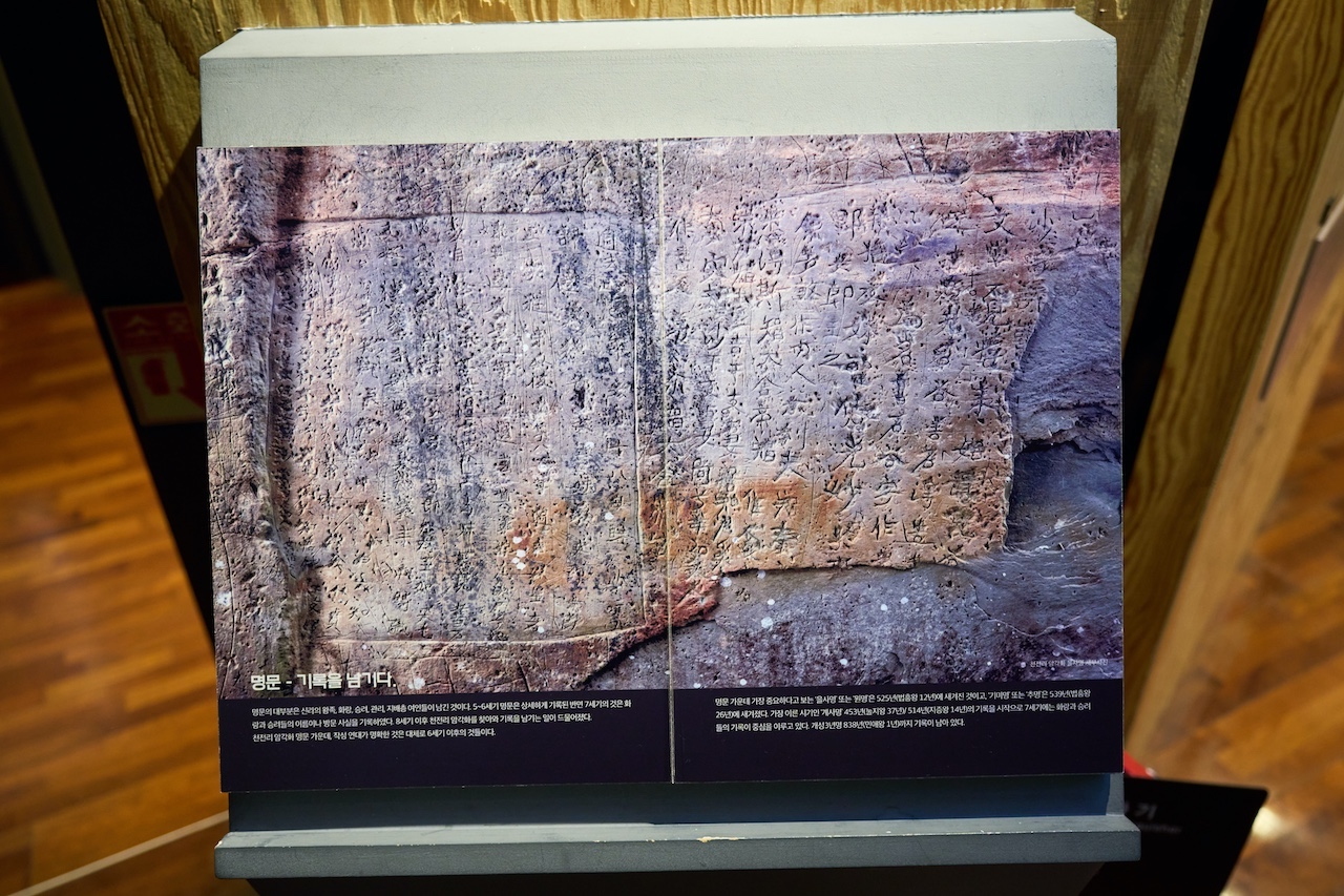
A petroglyph cannot be accurately restored if no one knows what it looked like before the damage.
Tanbaly needs more than a one-time inspection. It needs a continuous timeline documenting the condition of every major panel.
Photographs, three-dimensional models, crack maps and temperature readings should be updated regularly. Specialists would then see the speed of change rather than only its final result.
Kazakhstan needs climate-risk profiles for its petroglyphs
A climate-risk profile could be created for every major rock panel.
It should include information about the stone structure, cracks, water runoff, sun exposure, temperature fluctuations and previous damage.
Human pressures should be documented separately: touching the rock, leaving designated routes, graffiti and vibrations from vehicles.
Such profiles would show which panels are deteriorating fastest and where funding should be directed first.
Without clear priorities, money tends to follow visibility. The areas most noticeable to visitors receive attention rather than those facing the greatest danger.
Action must begin before the critical threshold
Bangucheon has a clear indicator: flooding begins when the water reaches 53 metres.
Tanbaly also needs measurable thresholds.
These could include the widening of a crack, movement in the angle of a rock block, rising moisture or a specific number of visitors on a route.
Once a threshold is reached, a predetermined response should begin automatically: restricting access, ordering an additional survey, stabilising the section or redirecting visitors.
If every action requires a new round of negotiations between government bodies, valuable time will be lost.
Heritage deteriorates faster than a budget request can be approved.
Who should be responsible for one property?
The Bangucheon dispute continued because several interests collided.
One institution managed water, another protected heritage and the municipal government controlled the territory. Each side focused on its own responsibility.
Tanbaly also depends on more than the cultural authorities.
Fire safety, roads, tourism, land use and water management fall under different institutions. Without a single decision-making centre, responsibility becomes fragmented.
The property needs a permanent interagency task force with clearly defined powers and an emergency-response budget.
It should meet before the fire season, heavy rainfall or a sharp increase in visitors — not after damage has already occurred.
Korea’s main lesson is not the floodgates
Kazakhstan does not need to copy Korea’s engineering solution.
Tanbaly has no dam, and its climate and geology are different. What should be adopted is the logic: measure risk, compare alternatives, consider residents’ interests and finance protection in advance.
Bangucheon received UNESCO status after the flooding problem had already existed for decades.
Tanbaly has been on the World Heritage List since 2004. Kazakhstan already has scientific data, a reserve-museum and a protection system.
The next task is to turn observation into early warning.
Petroglyphs rarely disappear in a single night. They send warning signs for years.
The question is whether the state will notice them before an ancient image becomes a pale stain on the rock.